



A BOLD VISION FOR PROTECTING LAND RIGHTS AND BUILDING WEALTH
July 29, 2026
PM RABUKA OFFICIATES AT GROUNDBREAKING CEREMONY OF THE NEW CARRIAGE SAWMILL PROJECT IN LAUTOKA
July 31, 2026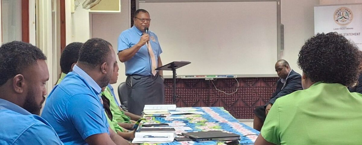
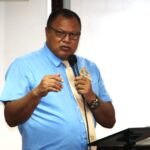
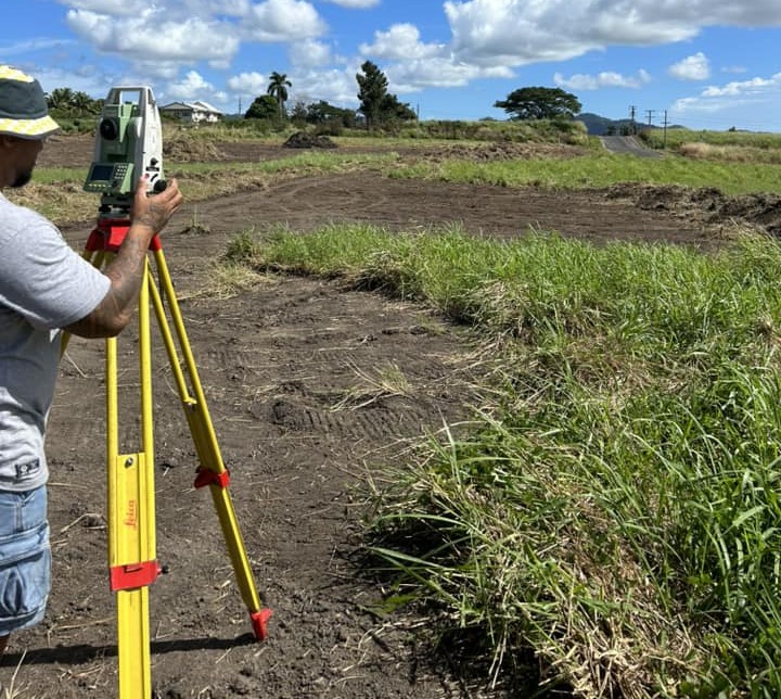
The iTaukei Land Trust Board (TLTB) today marked a significant event with the launch of its first-ever internal Geographic Information Systems (GIS) Workshop, an initiative that CEO Mr Solomone Nata says will become a permanent feature on the organisation’s annual calendar.
In his opening address, Mr. Nata highlighted the growing importance of GIS in supporting effective land administration and decision-making. He noted that the workshop was convened in response to the increasing number of GIS-related issues being raised at various management forums without any clear way forward to solve them.
Mr. Nata reminded participants that while human error is inevitable, continuous learning and improvement are essential. He stressed that even the smallest GIS inaccuracies can have serious consequences for land management and development, calling on staff to uphold high standards of discipline, professionalism, and accountability.
“GIS is a critical tool for TLTB, and we must strive for excellence in how we manage and apply geospatial information. We will continue to invest in capacity building and emerging technologies to ensure our teams are equipped to meet the evolving demands of land administration,” he said.
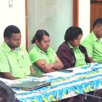
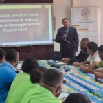
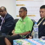
With the theme “Transforming iTaukei Land Management through Geospatial Innovation and Artificial Intelligence,” the workshop brought together geospatial officers, managers, surveyors, IT officers, and senior management to explore the latest developments shaping the future of GIS.
Key presentations included:�The Future of GIS in Land Administration and Natural Resource Management by Dr. Joeli Varo of the University of the South Pacific. �Artificial Intelligence (AI) in GIS by Mr Mohammed Shorab, National NDC Coordinator Fiji. �Drone Technology and Remote Sensing Applications by Mr Christopher Saili of Kahuto Pacific. �
The workshop also featured presentation of case studies from Reserves Commissioner, Senior Surveyor and Senior Land Use Planner followed by case studies and collaborative discussions focused on strengthening TLTB’s GIS capabilities to support better land governance and service delivery.